Weather Forecasting

Students work together in teams to interpret weather maps from eight consecutive days. Each team initially interprets the map for a single day and constructs a weather report for that day. Teams assigned the same day then combine to prepare, and present their weather report to the class. Students then use the information for all eight days to forecast the weather for the unknown, ninth day.
Details at a Glance
- 1-2 Days | 1-2 ~50 minute class periods
- 1 Activity
- Accommodates unlimiited classes, each with 16 groups of 2 students
- Meets our criteria for supporting literacy
- All materials are non-consumable
- Includes digital resources
- Developed in partnership with SEPUP
Scientific Concepts
- Global patterns of atmospheric movement influence local weather
- Weather is the outdoor conditions (such as temperature, precipitation, cloud cover, etc.) at a particular time and place. Weather maps provide visual summaries of some of these conditions
- Scientists such as meteorologists, atmospheric scientists, climatologists, and hydrologists study different aspects of the earth's weather and atmosphere. Society relies on the information provided by such scientists
- Disciplinary Core Ideas
• MS-ESS2.C The Roles of Water in Earth’s Surface Processes
• MS-ESS2.D Weather and Climate
Science and Engineering Practices
• Planning and Carrying Out Investigations
• Analyzing and Interpreting Data
• Engaging in Argument from Evidence
Crosscutting Concepts
• Cause and Effect
• Systems and System Models
• Connections to Nature of Science
Key Vocabulary: cold front, front, latitude, meteorologist, precipitation, prevailing wind, warm front, weather forecast
Guides & Student Sheets
Our kits and modules provide you with everything you need so you can open, review, and teach the material confidently the next day.
- Comprehensive Teacher Guide with background information, detailed instruction, example data and answers
- Student Sheets with age appropriate background information, full procedure(s), and analysis items
- Materials necessary for the investigation (beyond common classroom items)
- Safety Data Sheets
Kit Components
- 4 Weather Map Cards for August 24th and 25th
- 4 Weather Map Cards for August 26th and 27th
- 4 Weather Map Cards for August 28th and 29th
- 4 Weather Map Cards for August 30th and 31st
- 1 Visual Aid: Satellite Image of Clouds over North America
- 32 Student Worksheet and Guides
- 1 Teacher’s Guide
- Not included and needed for instruction: Colored pencils and local weather data.
Related Products
-
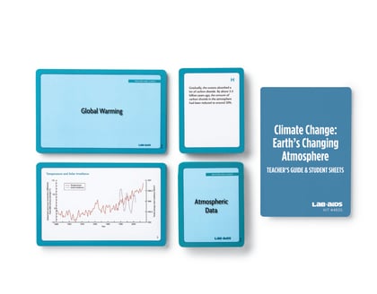
 Kit #483SClimate Change: Earth’s Changing Atmosphere
In the first part of this activity, students analyze and interpret data related to changes in Earth’s atmosphere over time. Students chronologically arrange cards describing the relative amounts of carbon dioxide and oxygen gases in the atmosphere at different times in Earth’s history and the role of living organisms in...
$125.60 View Details -
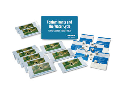
Kit #434SContaminants and the Water Cycle
Students model the phenomenon of global water movement as driven by the Sun and gravity. Students construct an explanation of the water cycle and the cycling of matter as a result of a hands-on investigation. They consider how the planet’s systems interact over various time and spatial scales. They use the crosscutting...
$105.00 View Details -
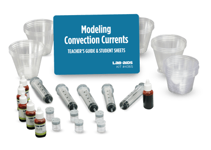
Kit #436SConvection Currents
Students learn about the flow of energy and the forces that are thought to drive the movement of Earth’s lithospheric plates. They use a model to discover the conditions necessary for convection to take place, and relate their findings to the flow of energy and resulting movement of matter in Earth&rsquo...
$122.50 View Details -
Kit #437Watersheds Kit
This hands-on activity explores the dynamics of watersheds. Despite the significance of watersheds, many students get few opportunities to explore this important aspect of topography and its relationship to the water cycle. This activity not only provides students with firsthand experience with watersheds but also provides a knowledge base to better understand issues such...
$137.10 View Details