Nutrients in Waterways: A Testing and Analysis Simulation

Students analyze maps of a fictional watershed then choose sites to test for nitrogen and phosphorus levels. They use prior test results along with geospatial data layers to guide their testing. After completing all their allowed tests, they use their mapped data to try to determine the source of the pollutants and develop a remediation plan of best practices to mitigate the situation.
Details at a Glance
- 3 days | 2-3 ~50 minute class periods
- 1 Activity
- Accommodates 2 classes, each with 8 groups of 32 students
- Consumables service 64 students
- Meets our criteria for supporting literacy
- Includes digital resources
- Developed in partnership with NAAE
- Requires a water source
- Includes assessment
Scientific Concepts
- Human activities can have impacts on environmental quality.
- Many different types of data can be used to analyze a problem.
- Geospatial data connects information to a location.
Guides & Student Sheets
Our kits and modules provide you with everything you need so you can open, review, and teach the material confidently the next day.
- Comprehensive Teacher Guide with background information, detailed instruction, example data and answers
- Student Sheets with age appropriate background information, full procedure(s), and analysis items
- Materials necessary for the investigation (beyond common classroom items)
- Safety Data Sheets
Kit Components
- 1 Smith River Watershed samples, set of 20
- 2 Nitrate test strips, bottle of 100
- 2 Phosphate test strips, bottle of 100
- 16 Nutrient testing keys
- 8 Chemplates
- 8 Geospatial data layer overlays, set of 4
- 1 SDS (Safety Data Sheet) packet
Related Products
-
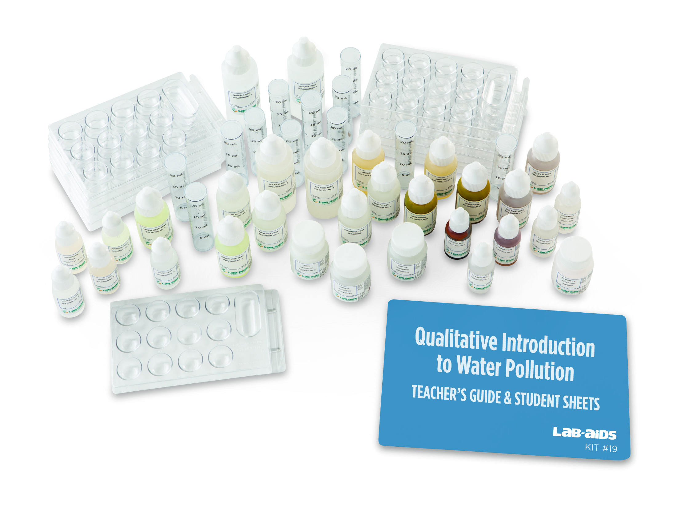
 Kit #19Intro to Water Pollution
Students perform simple chemical tests to identify the presence of several common water pollutants. Using a simplified methodology, they determine whether the water sample contains a specific pollutant by observing the color of the water after one or more chemical reagents has been added. The testing protocols are easy to follow and the results...
$315.20 View Details -
Kit #19-1-NINitrate Water Test
From an environmental stand-point, it is sometimes necessary to hold back the forces of nitrogen. The essential balance of life in a body of water can become disrupted if they aren't. Students become aware of the presence of nitrate when the tested water samples turn a light pink color. This Lab-Aid permits 150 individual...
$110.80 View Details -
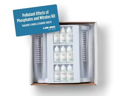
Kit #20Phosphates and Nitrates Pollutants
This kit is an excellent environmental pollution laboratory activity. Students use water samples from nearby fresh waterways to set up controlled experiments, observe them, and determine the effects on fresh water (both qualitative and quantitative) when phosphate and nitrate compounds are added. Over a period of ten days, students will observe and compare the...
$95.10 View Details -
Kit #318SSoil Nutrients and Fertilizers
Students investigate the quality of water that passes through soil. They first test unfertilized soil and fresh water for the presence of nitrates then add fertilizer to the soil and test both the fertilized soil and the runoff water for nitrates. They construct an explanation about how fertilizer use effects water quality and natural...
$210.00 View Details -
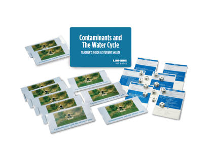
Kit #434SContaminants and the Water Cycle
Students model the phenomenon of global water movement as driven by the Sun and gravity. Students construct an explanation of the water cycle and the cycling of matter as a result of a hands-on investigation. They consider how the planet’s systems interact over various time and spatial scales. They use the crosscutting...
$105.00 View Details -
Kit #437Watersheds Kit
This hands-on activity explores the dynamics of watersheds. Despite the significance of watersheds, many students get few opportunities to explore this important aspect of topography and its relationship to the water cycle. This activity not only provides students with firsthand experience with watersheds but also provides a knowledge base to better understand issues such...
$137.10 View Details